Tropical Storm FITOW / Quedan enhances Habagat
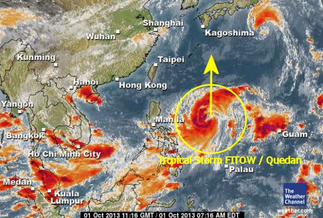
Tropical Storm FITOW / Quedan is strong but fortunately it moves far from the Philippine islands towards the southern islands of Japan. Its central pressure is now down to 994 hPa and it might go down to 960 hPa.
At 05:00 p.m. this evening the storm was located 700 km East of Virac, Catanduanes. This tropical storm will become a typhoon in the next 18 to 36 hours, but it will not hit the Philippines.
We keep an eye on Tropical Storm FITOW / Quedan. For more and near real-time information see here:
Old Weather Page 
New Weather Page
New Marine Weather Page
Related posts
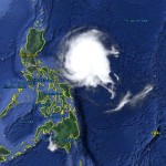
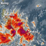
 October 1, 2013 Tropical Storm FITOW / Quedan passes east of the Philippines The Tropical Depression east of Samar has been upgraded to Tropical Storm FITOW / Quedan. This storm is moving north at a distance of 800 […]
- November 20, 2011 Jasmin by the Sea has closed the restaurant and bar Jasmin by the Sea, one of the well known resorts in Camiguin, continues to step down.
Already 2 years ago the Lonely Planet Guide […]
- June 8, 2013 Milky Island – Camiguin MAMBAJAO, Camiguin, June 7 (PIA) -- Farmers as well as children will soon benefit from a new dairy farm, expected to open this month in […]
- April 4, 2015 Typhoon MAYSAK/Chedeng – now Category 1 Typhoon MAYSAK/Chedeng again got weaker last night but got a bit better organized. This makes us think that the storm will reach the coast […]
- February 15, 2012 Floods in Mindanao – soon in the Southern Visayas The floods have begun. Near General Santos (Southern Mindanao) hundreds of houses in two major villages here were submerged in floodwaters […]


Recent Comments