Nasty weather in the south

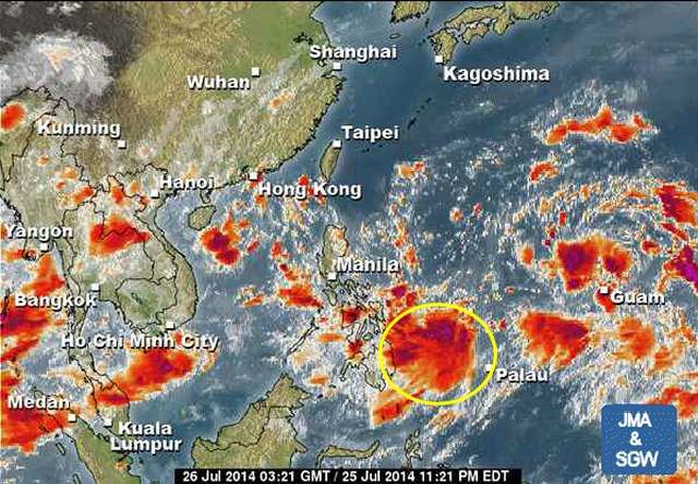
Nasty weather in the south of the Philippines. The slowly approaching Tropical Depression (TD) hovers east of Mindanao and brings heavy rainfall to the southern islands.
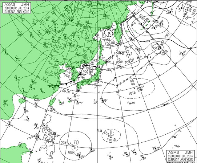
This Tropical Depression is moving very slowly towards the Philippines and will influence the weather in the south during the next days. This morning the TD’s center had been 840 km east of Mindanao. With the current forward speed this wet system will reach the Philippines in the first half of next week.
The second Low Pressure Are (LPA) is already more north. It became weaker and is slowly moving northwest. The probability that any of the two systems will become a cyclone in the next 24 hours is very weak.
As always, we’ll keep an eye on these wet guys. Meanwhile you may want to see their development in our 24 hours satellite loops.
[GARD]


Recent Comments