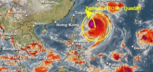
Typhoon FITOW / Quedan followed by Tropical Storm DANAS
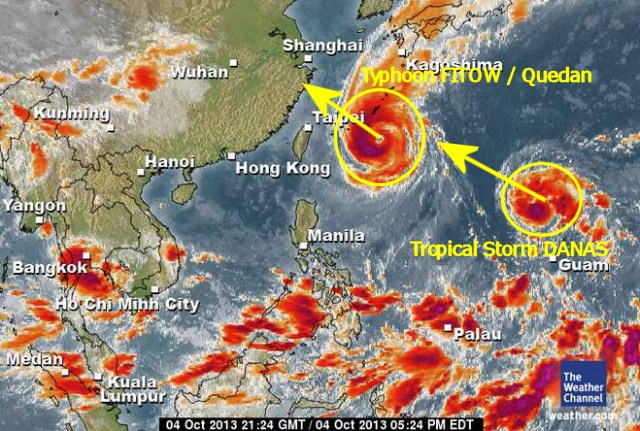
Typhoon FITOW / Quedan is contiuing its track towards mainland China. The typhoon has again gotten stronger and is now a Typhoon Category 2.
Meanwhile the tropical depression 97W has been upgraded to a Tropical Storm and given the international name DANAS. This storm is following the track of Typhoon FITOW / Quedan and should not touch the Philippine islands.

Both storm systems enhance the south-west monsoon (Habagat). Steady stiff breezes and rather rough seas must be expected in south, south-west and west exposed areas.
We keep an eye on Typhoon FITOW / Quedan and the Tropical Storm DANAS. For more and near real-time information see here:
Old Weather Page 
New Weather Page
New Marine Weather Page
Related posts
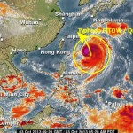
 October 4, 2013 Typhoon FITOW / Quedan got stronger last night Typhoon FITOW / Quedan is now north of the Philippines. As predicted it got stronger during the night and has developed a clearly visible […]
- October 3, 2013 Typhoon FITOW / Quedan now North of the Philippines Severe Tropical Storm FITOW / Quedan is to be upgraded to Typhoon Cat.1 within an hour. The storm is now north of the Philippines. It is […]
- January 10, 2013 Dangerous bad weather in the south The very bad weather in parts of Mindanao is caused by two Low Pressure Areas (LPAs). There is a high risk of flash floods and […]
- April 23, 2015 Modern Naga City Modern Naga City, the capital largest city of Camarines Sur has published their new governmental website today. Also today the City […]
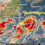
- September 19, 2013 Typhoon USAGI / Odette upgraded to Category 2 Typhoon USAGI / Odette is now a Category 2 Typhoon after it rapidly intensified overnight while over the Philippine Sea. The storm also […]


Recent Comments